
RECONSTRUCTION AND RECOVERY
OF THE VIRGINIA CREEPER TRAIL
- - - DRONE VIDEOS - - -
This page is for drone videos of the Creeper Trail rebuilding process.
We will be adding documentation of the rebuilding until the projected completion in Fall of 2026.
If you have legally-made aerial videos of the reconstruction of the Virginia Creeper Trail and would like them shown here please contact us.
See links to USFS guidelines and Virginia law below.
(Updated February 23, 2026. Further updates as work progresses. Most recent videos are at the top.)
Link to video
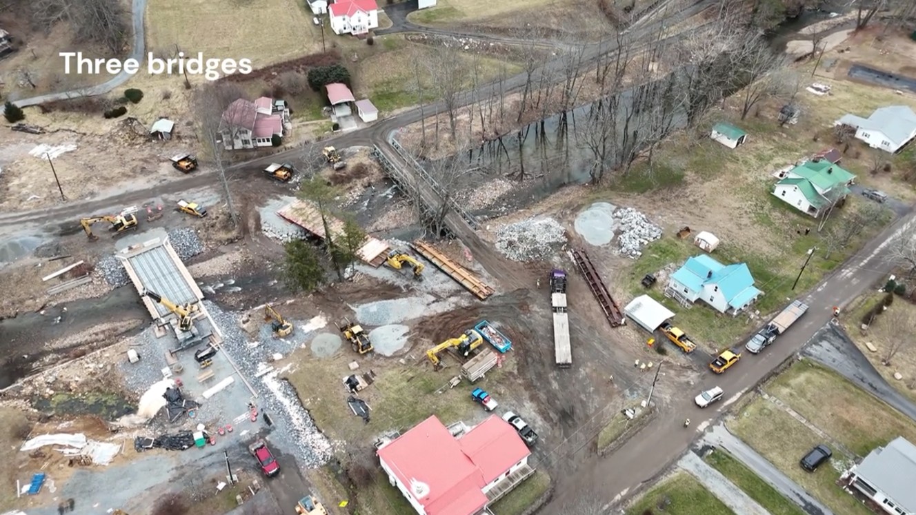
Taylor's Valley in late January is the center of action as three bridges are installed.
January 2026
Link to video
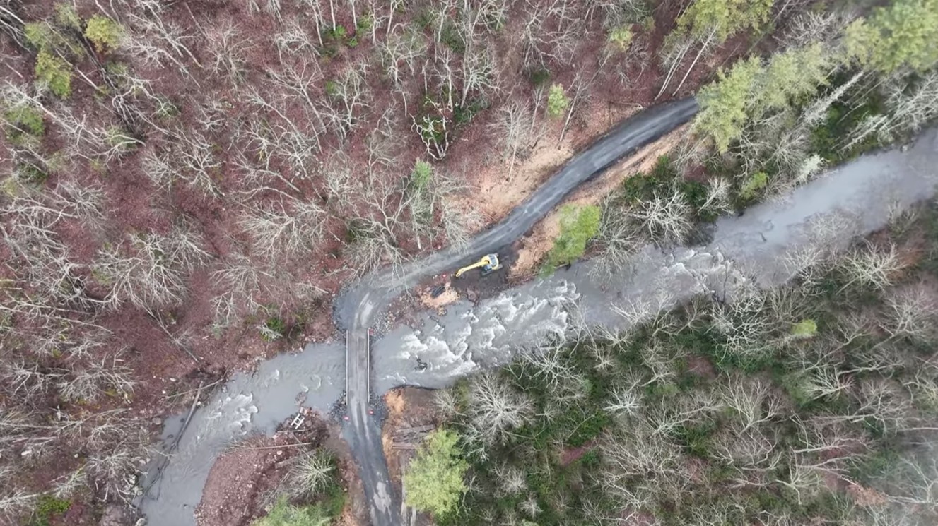
The Kiewit Corporation is working its way up Laurel Creek by installing temporary bridges and compacting and leveling the existing trail bed. Great progess is being made as shown in this video.
January 2026

Link to video
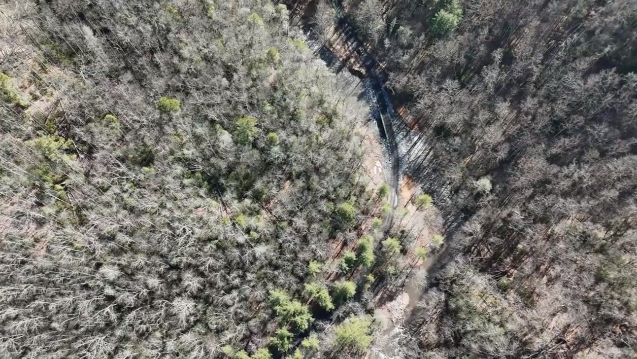
Trestle damage near Green Cove visible from the road.
Indicates problems but also ease of access.
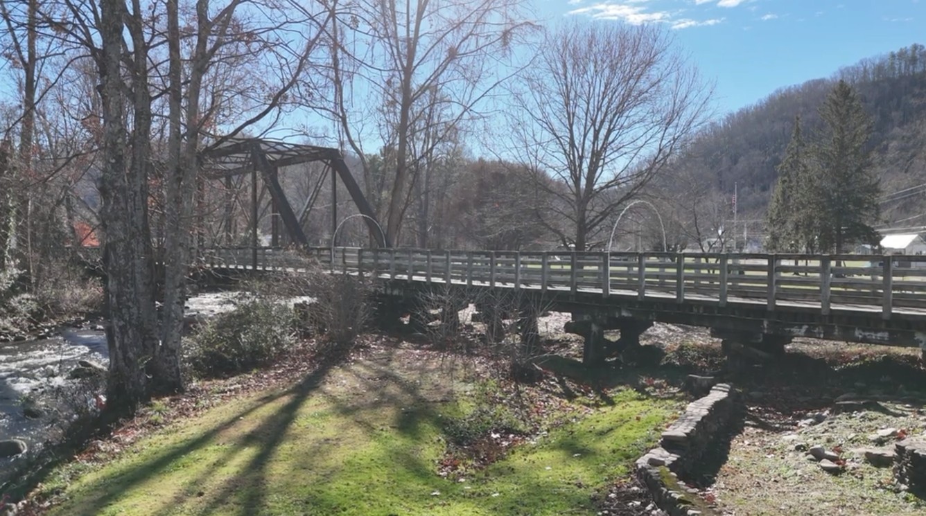
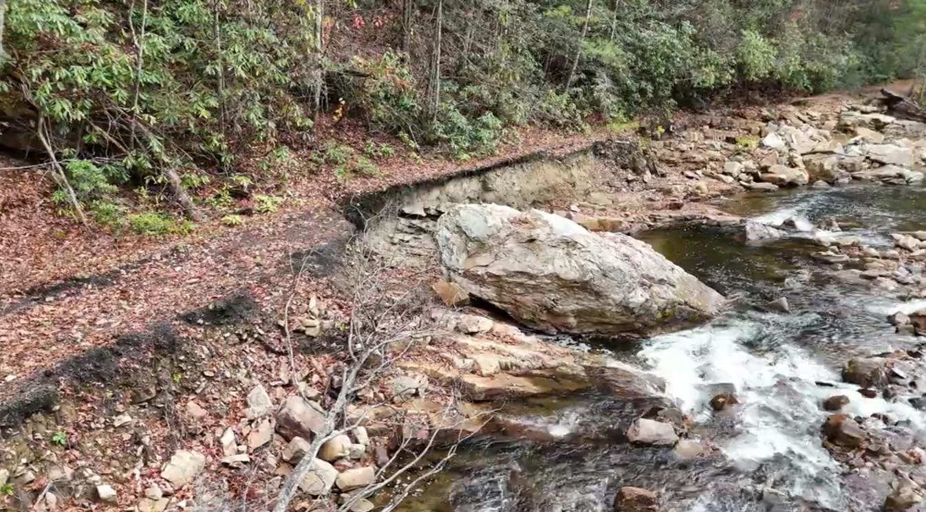
Link to video
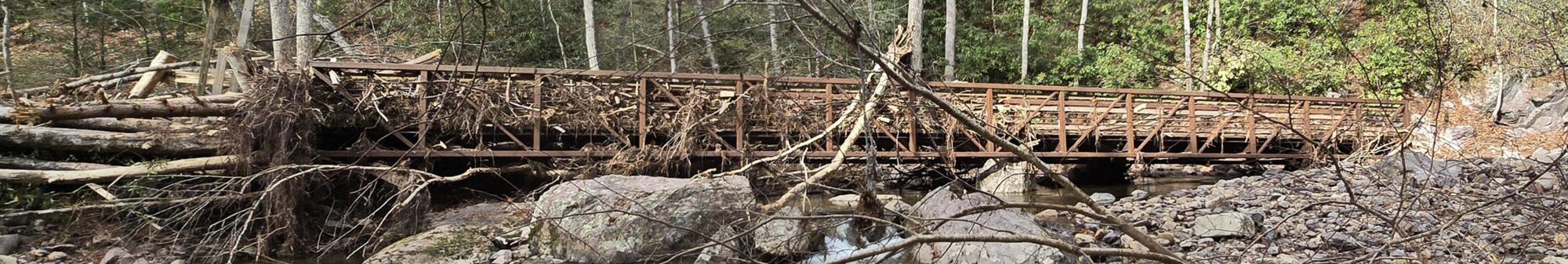
A closeup look of a section of the washed-away trail bed.
Upstream from trestle 20. Graphic depiction of damage.
Link to video
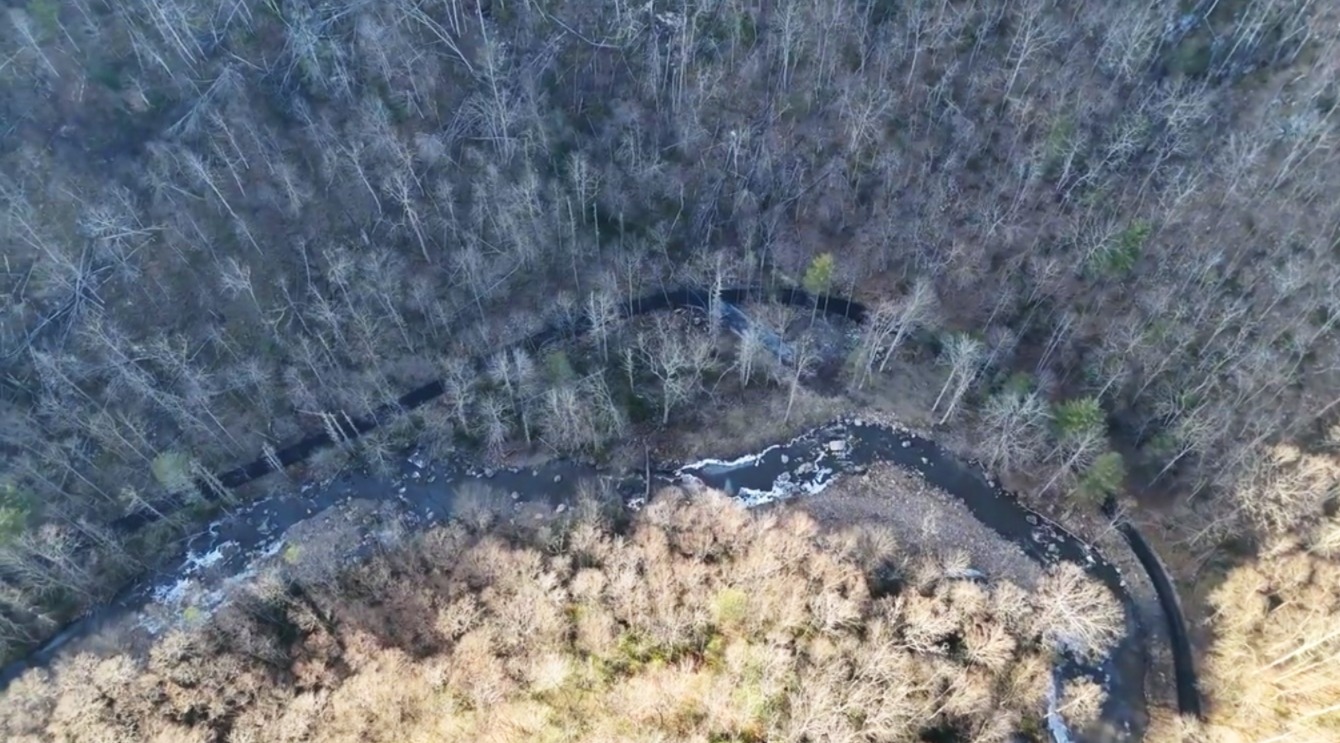
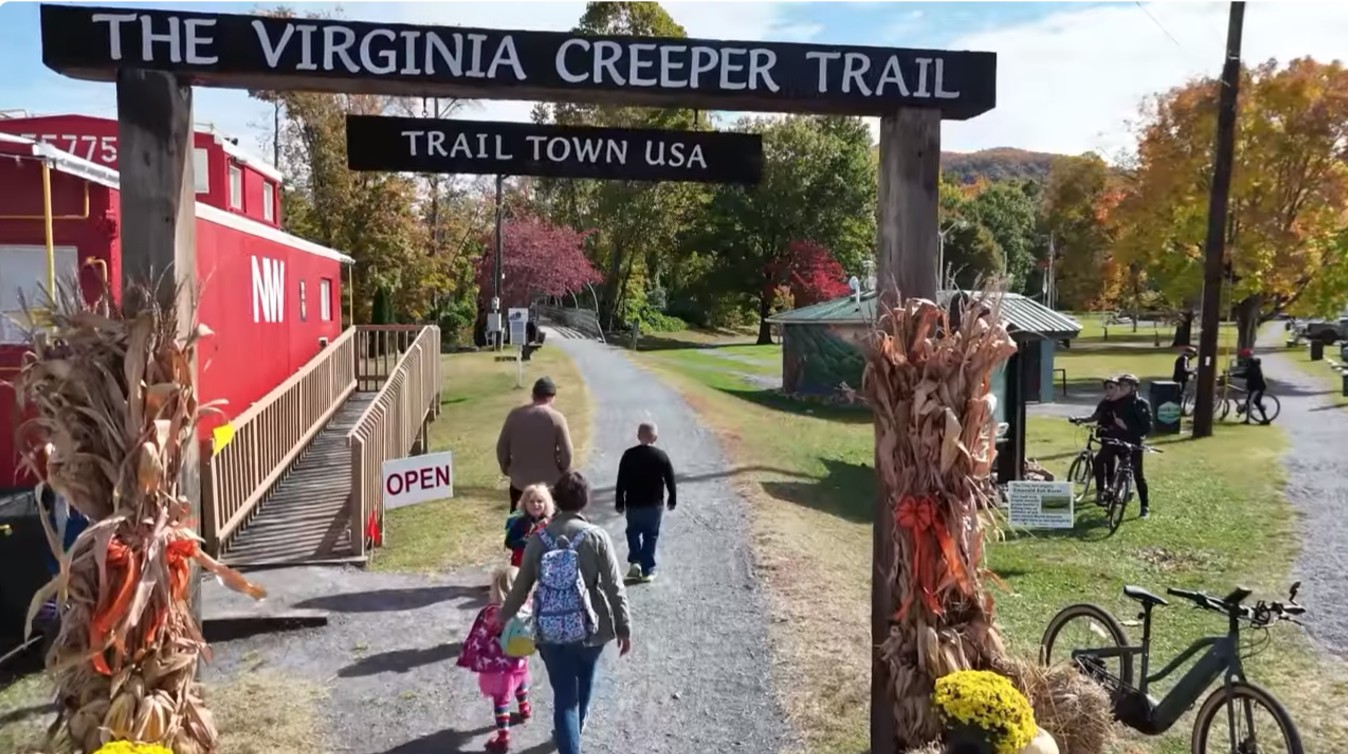
Town of Damascus Autumn 2025
(Not photos of the trail but a look at the town that depends on the trail)
Link to video
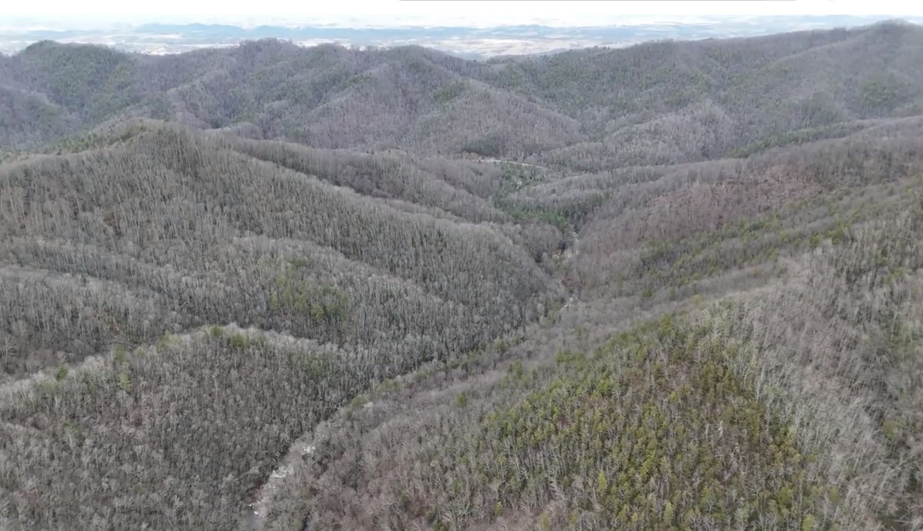
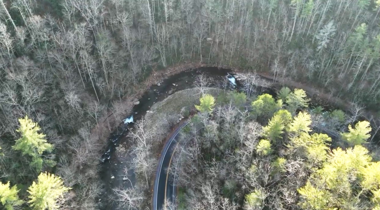
This is a flyover of Rt. 58 from Trestle 18
to Trestle 20 and a few hundred yards beyond / 12-26-25
United States Forest Service Drone Guidelines
18.2-121.3. Va. Law - Trespass with an unmanned aircraft system; penalty
Virginia Creeper Trail Recovery
Virginia Creeper Trail - Documentation of Destruction
It is provided as a public service by volunteers.
Home